
Shinagawa Station in History
I haven’t updated in a while, so please accept my apologies. I’ve got a lot on my plate at the moment but there is an article in the works. That said, an idea came to me while on the shitter thinking about Edo Bay vs. Tōkyō Bay (as one does). So I thought I’d share a bunch of cool pictures of Shinagawa.

Left side is Edo Period. Right side is today.
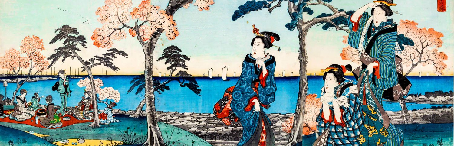
In the Edo Period, the Shinagawa/Takanawa area was a collection of bustling seaside villages, but compared to castle town of Edo, it was quite rural. It was the literal edge of Edo. The Tōkaidō, a highway connecting the shogun’s capital in Edo with emperor’s capital in Kyōto, began in Nihonbashi and the first post town (rest town) was Shinagawa. The men leaving the capital could a decent meal, take care of any drinking and whoring they needed to get out of their system, and hob nob with samurai from various domains (which was arguably illegal). The men coming into the capital could get a decent meal, get their garments cleaned or pick up something new, take care of any drinking and whoring they needed to get out of their system, and any other final arrangements before entering the shōgun’s capital[i]. Shinagawa’s growth was a byproduct of sankin-kōtai, the Edo Period system of “alternate attendance.”

In the Meiji Era, the Tōkaidō was the obvious route for a new railroad. Connecting Edo→Tōkyō with Ōsaka and Kyōto was necessary and preserved the life of many villages by pulling them into the fold of Meiji Japan’s “modernization” efforts. The modern bay area was built up bit by bit since the Meiji Era, but the bulk of construction took place in the post WWII years. By the time of the Tōkyō Olympics in 1964 shit was out of control. Today, Edo’s shoreline is long gone. A few place names preserve its memory— a river channel here and there survive along the old coastline. But for better or worse, Tōkyō Bay is completely different animal than the former Edo Bay.
The former shoreline roughly follows the modern day JR tracks, ie; the Yamanote Line.


All I think is… tsunami disaster waiting to happen. So glad that never happened. Also notice the stone walls. Love Edo Period stone wall work!


_____________________________________
[i] By the way, a walk from Nihonbashi to Shinagawa is not a day’s walk. Today you can make the walk in less than 2 hours – but that’s with paved roads. If you were moving in a large group, the pace of walking was formalized; you were a kind of regularly occurring parade, especially near the major villages and cities. My guess is the rate that the palanquin bearers could comfortable carry their passenger determined the pace. I’m guessing that at a leisurely pace from Nihonbashi to Shinagawa in old style shoes, on old style roads, it could easily take double that time… maybe triple. And surely, you’d be hungry.

Oh, is this post in the drinking and whoring tag? I see it in the text. 😉
Wow, it’s easy to forget how different the landscape is now, compared with before. I remember seeing pictures of Shinjuku (post WWII, completely flattened vs today) and being completely astounded. The fact that there was a big river and no crazy-labyrinth station… My husband’s grandfather even supposedly rowed a boat from Ibaraki to central Shinjuku back in the day. I suspect it’s a tall tale with some truth lurking in there, but interesting nonetheless.
Well, with the network of rivers being used for all kinds of traffic before cars became an every day reality, it’s not entirely unbelievable to think someone could come from Ibaraki to Shinjuku via boat (off the top of my head, the Kanda River flows through Shinjuku). One person rowing the hole way is… yeah… a little suspicious, but who knows?!
The whole Konan Exit area was supposedly built up about 3 years before I arrived in Japan, so that would be…. maybe 2002? I’m writing from my phone while walking so I can’t look it up, but there has been massive expansion in that area it’s all fairly recent.
That’s crazy seeing the station right on the bay. I wonder if there was ever a tsunami.
By any chance, do you know what dates each of the photos were taken? I don’t need exact dates if you don’t have them, though it’d be nice. I just need these dates for an oddly specific project I’m working on. So if I could get a date for each of the images, or at least what you’d estimate, that would be great. Thanks, and nice blog!
I’m curious if anyone has a map of circa 1990 Shinagawa to post a good photo of. I’d like to see where I spent my first night (NW of Wing I think), where I had my first ramen (just S of Wing but not at the shop that’s there now, instead on a little side street I think).